Probe Measured Signal Optional Module
This Probe option will import measured signal data from several brand name GPS automatic measuring devices. The “snail trail” map shown below shows the color coded measured field strength points along the drive path of an FM station is the Denver area. Circles are bounded by thin black line boundaries to make then stand out. Probe handles measured data imports from Audemat, Z-Technology and other GPS/signal measuring devices. Once imported you can ask Probe to display a Longley-Rice map with the measured data merged with the predicted data. Probe can adjust predicted signal levels to match the measurements by giving more weighting to the measured points at and around the locations of the measured data. For those locations where there is no measured data, Probe will use Longley-Rice.
Probe Measured signal snail-trail map:
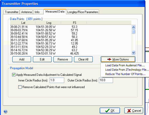
 The screen shown above is a shot of the transmitter’s assigned properties screen “measured Data” tab. You can add points manually or load them from a file. The map below shows the measured and predicted areas merged through interpolation to the same map.


